- July 29, 2026

-
-
Loading
Loading
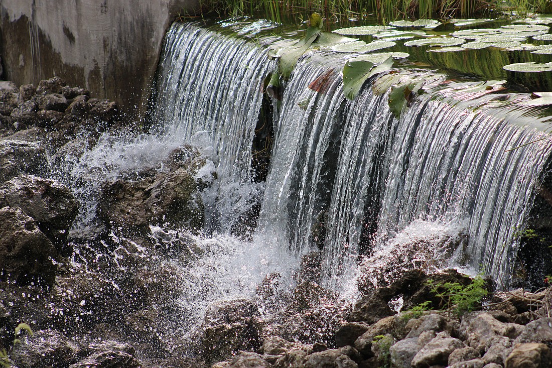
Recent rains have turned the street in front of your home into a small stream.
So that's the end of our drought, right?
Not so fast.
This season of burn bans, water-use restrictions, and brown lawns is not behind us, yet.
It would seem the rain finally has arrived in the middle of what is supposed to be the rainy season in Florida. The question now is whether it will be enough.
Normally throughout the Sunshine State, regular rounds of thunderstorms begin ramping up in June, hit a peak in July through August and begin slowing down in September, according to the National Weather Service. Summer months typically deliver as much as 70% of our annual rain, even without the effects of tropical systems, and carry us through the much drier fall and winter.
But, says the Southwest Florida Water Management District, since Hurricane Milton dropped as much as a foot of flooding rain on Sarasota and Manatee counties in October 2024, the region has seen just two months of above-normal rainfall – May 2025 and May 2026.
Furthermore, nine recording sites along the gulf coast are in the midst of their driest nine months since records began — in the case of Tarpon Springs and Brooksville, that’s 1892. The National Weather Service says that also includes Sarasota, which has never recorded a drier nine-month period than the one beginning in September 2025, dating back to 1911.
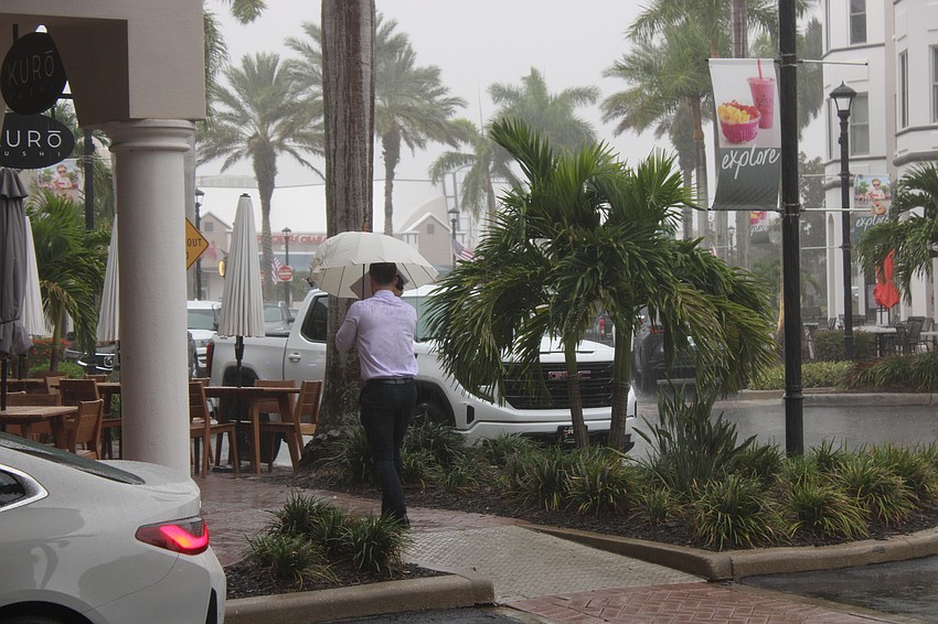
And while downpours and even some short-lived street flooding in St. Armands Circle have happened of late, the dry trend — fueled by a persistent high-pressure dome over the state — not only runs counter to seasonal climate norms, it’s also confounding folks just trying to keep things green.
“We moved here and thought summer was afternoon storms all the time,’’ said Mark Linger, who relocated to the University Town Center area in 2023 from Iowa. “A lot of people around us had a sprinkler system, but the guy who owns our house goes ‘Nah, never really needed one.’ ’’
Beth Ward, a Manatee County resident who works in downtown Sarasota, is an avid gardener and said flexibility is key to success.
"Gardening is a true art form in drought and rainy seasons here,'' she said. " I've learned that a lot of patience and years of testing and learning is required for any time of the year . . . especially during the dry times.''
More than just a dry stretch, the sort of drought much of Florida is experiencing goes deeper than wilting ornamentals and suffering St. Augustine lawns. It goes as much as 2,000 feet below the ground, all the way to the Floridan Aquifer, the vast subterranean sea that is the source of much of our water. Data from ground-based studies and NASA satellites confirms this.
A few days of routine downpours aren’t going to reverse the situation, either, says Tamera McBride, a hydrologic data manager with the Southwest Florida Water Management District, also known as Swiftmud.
“The 3 to 5 o'clock in the afternoon thundershowers, those really sustain us,’’ she said. “We haven't had that. So, what we're going to need to get beyond this deficit that we're in now, we need average rainfall plus rainfall on top of average to get us out of that deficit.’’
As it stands in late July at Sarasota-Bradenton International Airport’s official recording station, about 29 inches of rain should have fallen by this time. About 19 inches have actually landed in SRQ’s rain gauge since the year began.
To cope with the gathering dryness, Swiftmud’s governing body since last fall has approved four water shortage advisories, each ratcheting up in intensity, beginning in November. Most recently, in June, the agency reaffirmed until at least October an order calling for once-a-week yard watering restrictions, even for those who use private wells, because the water ultimately comes from the same place.
“Unless your city or county already has stricter hours in effect, watering hours remain reduced to 12:01 a.m. to 4 a.m. or 8 p.m. to 11:59 p.m. Properties less than one acre in size may only use one of these windows,’’ the agency ordered.
As a result, Sarasota County has issued several dozen citations for violations, which come with fines of up to $500.
Manatee and Sarasota recently relaxed outdoor-burning restrictions, which banned fireworks use over the Fourth of July.
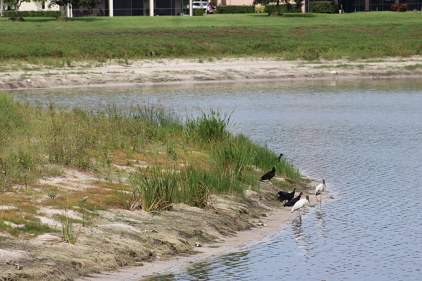
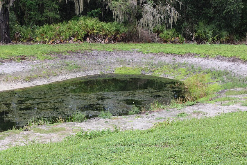
McBride said the outward signs of a deep dry spell can easily be seen in ponds and lakes with lower water levels. Irrigation experts have also responded to service calls for sputtering systems that are struggling to pull water from shallow underground wells. Manatee County, which supplies reclaimed water for irrigation, advised users this summer that though its system isn’t connected to drinking-water supplies, broader use was prompting pressure drops.
“We are all hoping for some much-needed rainfall to help reduce irrigation demand and support the recovery of normal system pressures,” said Brent Laudicina, Manatee’s utilities division manager. Typically, such systems are exempt from watering restrictions in Sarasota and Manatee.
Not far away, the C.W. "Bill" Young Reservoir, which opened in 2005 as a means of building a measure of drought protection into the Tampa Bay region’s water supply, held about 15% of its 15.5 billion gallon capacity at the end of June. The story is the same around the southern half of the state. Such data prompted the Peace River Manasota Regional Water Supply Authority, on which Sarasota County Commissioner Ron Cutsinger and Manatee County Commissioner Jason Bearden serve, in June to the region’s water supply status “stressed.’’
Relieving that stress isn’t a simple matter, either.
McBride said a few months of above-average rainfall would eventually soak into the underground water source, but exactly how long that takes is deeply dependent on geology. North of the Tampa Bay area, in such locations as Pasco, Hernando and Citrus counties, the aquifer is much closer to the surface that it is to the south.
“There's a good connection between the surface and the aquifer in the northern district,’’ she said. “And then around (Interstate) 4, the confinement changes. In Hillsborough County, it's kind of split. Then as you go further south, there's more confinement. So it takes longer to recharge the aquifer.’’
With the western halves of Manatee and Sarasota still classified as in “extreme” drought by the National Weather Service late last week, there was change noted in the northern segments of the region in recent days. A clear-weather producing high pressure dome has persisted over the state this summer, the weather service has noted, suppressing the kind of conditions that allow for storms to build.
“There was some improvement across parts of Levy, Hernando, and Pinellas Counties with degradation over parts of inland central and southwest Florida,’’ a report from the National Weather Service said on July 24. “Long-term impacts continue with low river levels, dry soils, and elevated fire danger remaining despite some recent rain. Showers and thunderstorms over the last week helped increase soil moisture some. However, water is being absorbed by vegetation, filtering into groundwater storage, and evaporating due to the warm weather.’’
A lot was made earlier this year by the presence of a Pacific Ocean cycle that tends to slow development of tropical storms and hurricanes in the Atlantic and Gulf of Mexico. That same cycle, McBride says, could hold promise later this year for a reversal of the trend.
“When El Nino happens, that creates a vertical wind shear that tends to break up tropical storms and hurricanes,’’ she said. “So that could be a fewer number of storms. It could be less intense storms. You know, of course, that's a prediction. We have to kind of wait and see. So we may not see a lot of rainfall from tropical activity this summer. However, the El Nino is expected to persist into the fall and winter. And with that, climate prediction center is anticipating a good chance of above average rainfall in the fall and winter. So we may not see a great recovery until later in the year.’’