- July 25, 2026

-
-
Loading
Loading
Joe Curley says he and his wife take their boat out on the water at least three times a week.
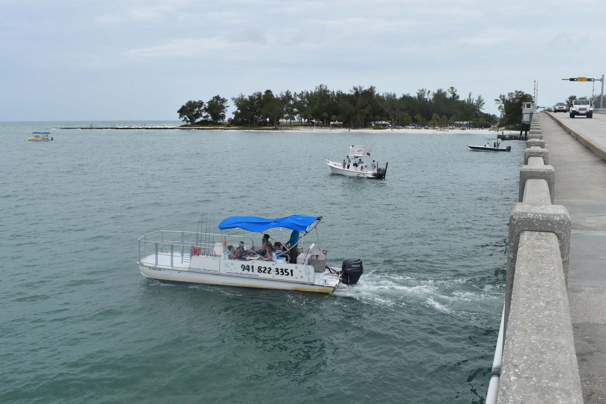
They were recently surprised upon noticing the removal of at least one navigational channel marker west of Longboat Pass Bridge.
“I have a boat that needs deeper water, and so I was waiting for those markers to come back in to show the new route that’s there,” Curley said.
Curley said his boat’s draft is 4 feet, 2 inches. While Curley doesn’t have forward-looking sonar like some newer boats to determine the water’s depth, his boat does have a radar, a chart plotter and a depth sounder that can record water depth immediately below the keel.
Radar can help a boat operator spot channel markers or buoys in poor visibility, and many of them are lighted for night visibility. Without them, it's a bit of a guessing game, even in the best of conditions.
“It’s just like putting yellow lines down the center of a highway, the yellow lines and the black and white lines,” Curley said. “Why do you do that? To show the vehicles where it is.”
In an email, Longboat Key Town Manager Tom Harmer confirmed the U.S. Coast Guard plans to reinstall the navigational markers once dredging finishes up and a new survey of the bottom conditions can be completed. Olsen Associates’ website shows the dredging on the northern end of the island is set to complete the week of Aug. 23. The dredging is part of the town’s beach renourishment project.
The town and its contractors are not responsible for the removal of channel markers, according to Olsen Associates vice president Al Browder.
The U.S. Coast Guard is responsible for marking federally maintained waterways, according to U.S. Coast Guard Aids to Navigation Officer Tony Sciullo, who works at the Coast Guard's St. Petersburg station.
“If we are not confident in the waterway, we will evaluate it and shift, or request permission to relocate aids to navigation in a waterway,” Sciullo said.
However, after dredging is completed, Sciullo said the contractor (Weeks Marine) is required to conduct bottom surveys using hydrographic equipment to plot any changes of depth. Then, the contractor is required to submit the surveys to the Army Corps of Engineers, according to Sciullo.
“The Corps of Engineers will take that data, validate it, and oftentimes the Corps themselves, they also send their own survey boats to validate that channel as well,” Sciullo said. “When we get that information back, we go down … and we may decide to change those positions slightly if it’s better water for the mariner, or to set them back on the correct channel dimensions.”
The U.S. Coast Guard distributes its Local Notices to Mariners on a weekly basis. At the end of January, the Coast Guard gave the following notice:
“The Coast Guard has received a report of shoaling in Longboat Pass from Longboat Pass Buoy 2A (LLNR 21759) and Longboat Pass Buoy 3 (LLNR21760) east toward the north end of Greer Island. Mariners are advised to use caution while transiting Longboat Pass as the shoal has shifted and has been reported less than 5 feet in some areas. All mariners exercise caution while transiting the area.”
Since the end of January, the Longboat Pass notice has continued to appear in the Coast Guard’s report weekly report.
Browder confirmed one of the Longboat Pass buoys is missing.
It’s not the first time Longboat Key has experienced the removal of navigational markers, either. In June 2017, the Coast Guard removed navigational markers in New Pass because conditions there became too shallow for larger boats to consistently pass through.
Curley said he thought it was important for the Longboat Pass markers to return.
“I would say that it’s critical for the Sarasota and Bradenton area to have markers there so that vessels can safely pass and come in and out of the intercostal waterway because that’s a lot of revenue,” Curley said.
Sciullo said the Coast Guard depends on boaters for reports about the waterways.
“It’s a mariner-monitored system,” Sciullo said. “Anything that may not look right, the only way we know about it on a more frequent basis than our planned maintenance is by reports from mariners.”
Anyone wanting to make a report to the Coast Guard can call 727-824-7506.


