- June 22, 2026

-
-
Loading
Loading
Multiple attendees at the Hurricane Day event by the Climate Adaptation Center on April 4 came away feeling concerned about the increasingly significant annual forecasts but also armed with knowledge.
This year's CAC forecast predicts a total of 24 named storms, 12 hurricanes and six major hurricanes. It is the earliest forecast in the nation, according to Bob Bunting, CEO and chair of the center.
“People have no idea of the magnitude of what's happening,” said Charlotte Tomaino, who has been attending the CAC forecasts for four years. “Until you come to something like this, and you begin to realize the vulnerability you have, you just ignore it, and you can’t ignore it. … It continues to grow every year.”
Held on the campus of USF Sarasota-Manatee, the event also featured speeches by Ric Kearbey, the Climate Adaptation Center’s senior scientist, who discussed the lessons of the three recent hurricanes with "I" names, Irma, Ian and Idalia, to impact the area; Tom Lewis, president of Tidal Basin Inc., who spoke on how to lower risks to infrastructure; and Guillermo Franco, of Guy Carpenter reinsurance firm, who discussed innovations in insurance in response to climate change.
Bunting creates the center’s forecasts, drawing from the input of colleagues and his decades of experience in atmospheric science.
He said this year's conditions are conducive to the formation of hurricanes, citing factors like warm water, low wind shear resulting from La Niña and abundant mid-level atmospheric moisture.
Bunting indicated to audiences the full set of 21 hurricane names ending in "William."
“I think we’re going to use all of these up,” he said, stating that names would have to be drawn from the backup list.
The record hurricane season in history was 2020, when 30 named storms ran through both alphabets. This year, Bunting predicts slightly fewer storms but emphasized that he forecasts a year that will be to the upside, with the chances of an impact from a major storm in the region being about twice that of last year.

Although August, September and October are typically the months of major hurricanes, he predicts these storms will occur earlier, in July. Bunting even said it was possible for a hurricane to form in the present conditions, prior to hurricane season.
“These are the warmest temperatures I've ever seen in my entire career, and this is early in the season,” Bunting said, noting that the Gulf has recently seen 100-degree water temperatures during the summertime for the first time.
He offered a breakdown of many of the graphs for each month of the forecast.
In May, hurricanes might be forming, with a hint that one could form in the south Caribbean and head toward Florida. In June, a swath of moisture from Africa to the Caribbean might serve as a potential storm track about two months earlier than that type of structure is normally observed. July looks to be a major month for hurricanes forming off Africa, with a hint of storms traveling up the U.S. east coast, and August does not appear better.
Bunting called September "a very strong hit."
"We're going to have a lot of hurricanes traversing the Atlantic into the Gulf, a busy year in the Gulf of Mexico," he said.
For October, Hurricane activity is predicted over Florida, with a shift toward Caribbean storms due to lots of moisture and some dry air.
However, if all goes well, Sarasota may enjoy a pleasant winter with little rainfall.
The event emphasized the importance of preparation, and Bunting urged the audience to not procrastinate when it comes to planning for a storm.
He said residents should know factors like their flood zone, the hotel they would stay in and the parking garage where they would leave their car in, as well as make sure their insurance is up to date and go on a staycation instead of awaiting evacuation orders as a storm arrives.
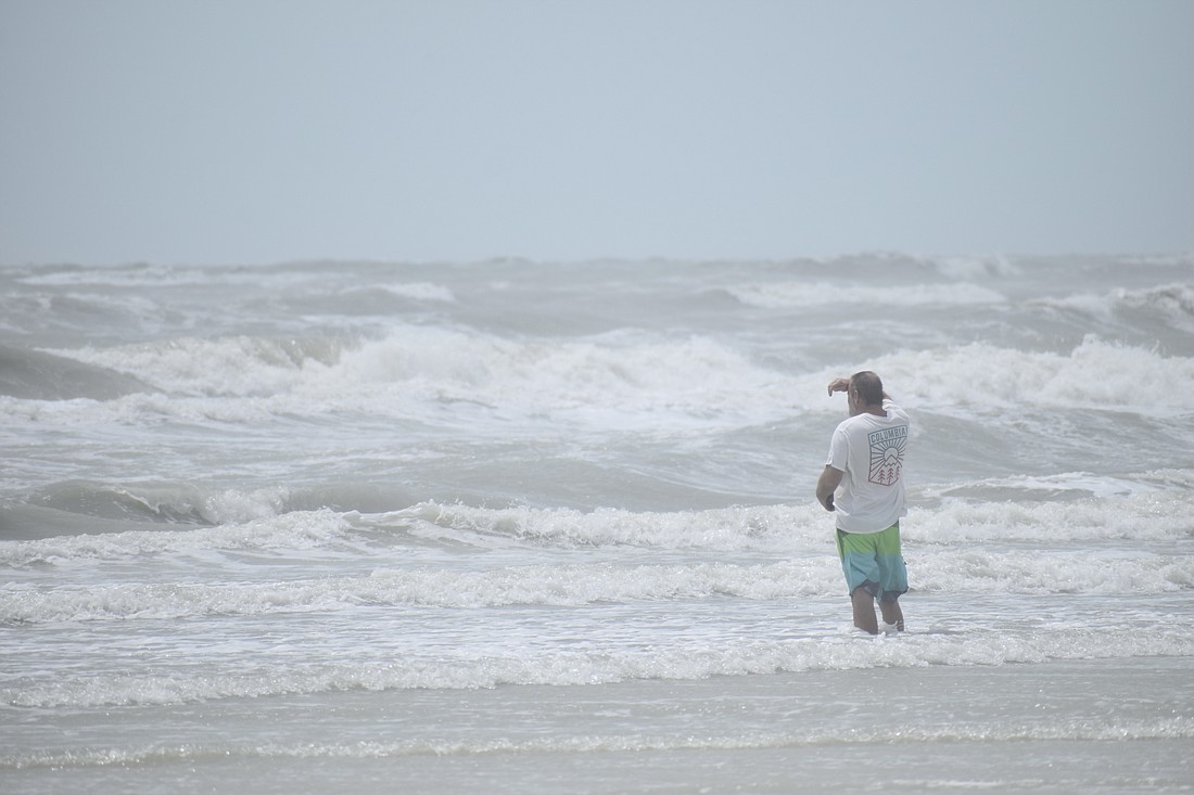
“One of the most vulnerable coastlines in the world is right here because we have such a shallow continental shelf, and even an inch goes inland a lot further than it does on the east coast,” he said.
Despite their concerns about the upcoming season, attendees complimented the event.
"I think this was so informative and so instructive, not just to frighten people, but to give people information, and that's really what counts, and that is so important,” said Karen Holbrook, regional chancellor at the University of South Florida Sarasota-Manatee campus. She called the experience inclusive of the audience and the tools they will need.