- June 30, 2026

-
-
Loading
Loading
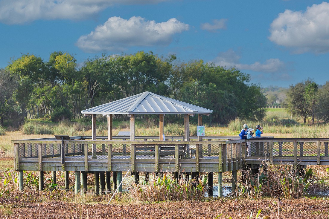
Sarasota County has developed a digital tool that will allow viewers to take a virtual hike through its many natural areas or explore shared gardening spaces in the area, with a pair of new interactive web applications.
The “story map” tools, available on computer, tablet or smartphone, allow users to learn more about the habitats, wildlife, history and more at an array of county preserves and parks, and to obtain information about the locations and history of community and demonstration gardens. They also offer an accessibility option for those who may have difficulty visiting these spaces.
The maps may be accessed at sfyl.ifas.ufl.edu.

“With the abundance of research indicating the health benefits of spending time in nature, these story maps provide an opportunity to explore and connect with Sarasota County’s natural resources,” said Katherine Clements, ecology and natural resources educator with Sarasota County Extension, in a news release. “Viewing images of nature has been shown to provide similar benefits, and we invite you to experience our natural areas and gardens from anywhere you are.”
As Sarasota County grows, county leaders continue to look for innovative ways to connect residents and visitors alike with outdoor- and nature-related experiences and activities available at county locations. The new story maps combine text, maps, images, videos and more into interactive applications that allow users to explore areas of the county they might not otherwise visit in person.
Developed in collaboration with several county departments and offices — Extension and Sustainability; Parks, Recreation and Natural Resources; Libraries and Historical Resources; and Enterprise Information Technology — the tools offer detailed information about each site.


