- April 26, 2024
-
-
Loading

Loading

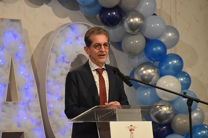
At times when others were fleeing hurricanes, Bob Bunting was running toward them, in the hopes that it could ultimately help others escape their impacts.
Ever since he experienced a large hurricane as a child and his mother couldn’t keep him away from the windows, he knew what he was going to become — an atmospheric scientist.
Today, as the CEO and chairperson of the Climate Adaptation Center, established in 2019, he’s prepared to offer another hurricane forecast, a prediction he says is the earliest in the nation, this time through a new event — Hurricane Day.
Bunting's decadeslong career took him largely between the National Center for Atmospheric Research and the National Oceanic and Atmospheric Administration, and he says his experience and passion helps inform his forecast.
He notes that while there are plenty of databases in the world, relying on them is not the same as working in the field, like when he was in Africa for three to four months flying through tropical systems in a C-138 airplane, as part of an experiment to understand the genesis of hurricanes in the 1970s.
The process isn’t strictly about the formulas but also draws from experience and pattern recognition.

“Intuition comes into it, experience comes into it, and all of these are what makes human beings better than artificial intelligence,” he said.
The forecast, now in its final stages of preparation, also relies on input from colleagues at the CAC such as Chief Technology Officer Dr. Stuart Waterman and Senior Scientist Ric Kearbey.
Bunting thinks it will help the Climate Adaptation Center bridge the gap in knowledge between scientists and the public, allowing the public to make changes to be better prepared for the impacts of climate change.
"The science was really so advanced, but the public, for a lot of reasons, part of it because of all the disinformation that's out there, was unsure, and so could not really focus on making changes," he said, recalling what inspired him to found the organization.
Bunting said that last year, the CAC correctly offered a forecast of seven hurricanes and two or three major storms, one of which would affect the west coast of Florida and would be earlier than Hurricane Ian.
Although he can’t reveal yet what predictions are in store for this year, he promises the public won’t want to miss out, as the conditions are coming together for a major hurricane season.
“There's a pattern that is going now for more than 20 years of stronger hurricanes, more of them, and more of them hitting the west coast of Florida,” he said.
Attendees can expect the forecast to predict a specific number of storms, the number of storms that will reach hurricane force and the number of those that will become super hurricanes of Category 3-5.
In creating the forecast, Bunting considers a number of factors, not all of which are weighted equally, and which vary based on what part of the season is in consideration.
He begins the process in December, looking at sea surface temperatures, including anomalies, in the hurricane development area, which extends from the west coast of Africa to the Gulf of Mexico.
Right now, he noted, temperatures are at record levels.
“The actual energy used by hurricanes is stored in that warm water,” he said.

The second factor he looks as it is the likely amount of wind shear.
When El Niño returned last year, there was increased wind shear in the hurricane development area, something which suppresses hurricane activity, but El Niño is now fading. This means that storms would generally develop more quickly and become vertically stacked into in a more stable system.
He also looks at moisture in the mid-level of the atmosphere, as condensation causes a physical reaction that generates more kinetic energy for storms to develop.
He notes that a monsoon in Africa has the potential to increase this moisture, while strong trade winds bringing dust into the atmosphere from the Sahara Desert could help prevent storm intensification.
The event will feature presentations by multiple speakers, including one by Kearbey, titled “Southwest Florida and the EYE’s have it: Lessons from Irma, Ida & Idalia,” and multiple audience Q&A sessions.
“I don't feel like it's work," Bunting said. "To me, it's part of what I do, and so it's just part of my life, and it's always been that way.”