- April 20, 2024

-
-
Loading
Loading
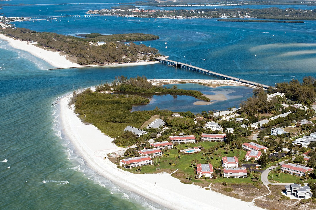
Longboaters living near an eroded beach on the north end can cross sand off their wish list for 2013.
With sand on the north end of the island disappearing at an alarming rate, the Longboat Key Town Commission agreed unanimously in September to a $6.2 million sand-and-structures project.
That project, which will deposit sand on some other high-erosion parts of the island, is expected to commence this summer.
Commissioners reviewed several alternatives for the north end of the island last year that included doing nothing; building two groins to hold sand; or building three groins to keep a beach in the area.
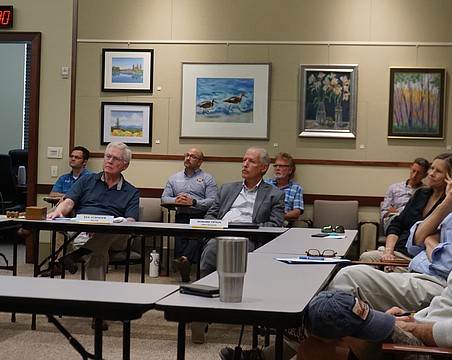
After spending a year analyzing the town’s options, Town Manager Dave Bullock recommended the construction of three groins — two permeable, adjustable-type groins near North Shore Road on town property and a non-adjustable groin that will stick out into Longboat Pass on Manatee County property — to keep sand from flowing north into the channel and into Sarasota Bay.
Bullock noted that as far back as the town’s 1995 Beach Management Plan, groins for the north end of the island have been labeled a priority. Bullock has also labeled the permitting of those groins a high priority for his administration this year.
“There is a longstanding policy about using beaches to protect property and some types of structures that are needed for the north end of the island,” Bullock said.
To prove his point, Bullock has displayed a variety of comparison pictures showing how the north end of the island and Beer Can Island has evaporated as recently as a few months ago after tropical storms Debby and Isaac passed through the area.
“If we do nothing, the north end near Beer Can Island will be gone,” Bullock said. “It literally makes that beach disappear over time.”
Gulf water came dangerously close to 360 North condominiums during Debby and Isaac.
“Those storms caused the elevation of the beach in that area to go down, and at high tide now there is no visible dry beach in this location,” Bullock said. “With the slightest amount of storm surge now, there’s water just about up to the buildings there.”
Doing nothing would also cause Beer Can Island to eventually break away from the north end of the island, also cutting off tidal flow to a nearby lagoon. Sand would have to be placed on the north end every year if no structures are built, which is a costly expense the town can’t afford.
Bullock explains that adding groins, even if it’s just two groins on Longboat Key property near North Shore Road, means the Florida Department of Environmental Protection will require the town to safeguard and be responsible for the shoreline all the way to Beer Can Island, even though it’s listed on the tax rolls as Manatee County property.
Bullock is planning a future discussion with the Manatee County Board of County Commissioners and will ask them to help fund the beach project in this area.
Once the structures are in place, sand from Longboat Pass will still need to be placed on the north end every four-to-eight years. Over a 20-year period, sand placement will cost the town from $4 million to $7.5 million.
“I am concerned for continued erosion and the likely impact to upland properties,” Bullock said.
The sand, which will be a little darker and coarser than what’s currently on the beach, will be coming from a borrow site miles out in the Gulf of Mexico, where a natural-gas pipeline is being placed in the next couple of years.
Bullock announced that he has signed the offshore lease with the U.S. Department of the Interior (Bureau of Ocean Energy Management) for access to the sand that lies under the Port Dolphin LLC natural-gas pipeline project on the floor of the Gulf. Public Works Director Juan Florensa said the town has until June 2013 to take approximately 300,000 cubic yards of sand for use for a future beach project. It’s expected, though, that Port Dolphin could ask for another year extension for its project, which would give the town another year to remove the sand.
Besides the north end, sand will be placed near Gulfside Road, the Islander Club and Seaplace.
The project is estimated to cost the town $9 million, although it’s eligible for a $5 million reimbursement from Port Dolphin LLC if it moves forward with its pipeline project as anticipated.
Beach Project Conclusions
Having no erosion-control structures on the north end of Longboat Key would result in:
• Eventual narrowing of the beach from the North Shore Road seawall to the north end of Beer Can Island.
• 360 North condominiums continuing to see over-wash and/or wave action during storms.
• Water overtaking all or part of the Australian pines and mangrove areas of Beer Can Island.
• The sand spit under Longboat Pass Bridge continuing to grow, blocking tidal flow in the lagoon along North Shore Road buildings.
• The current public beach access at North Shore Road eroding away, with a permanent closure and elimination of that beach access likely.